Arrazola
Greenway
Under Anboto’s watchful eye,
across the magical valley of Atxondo
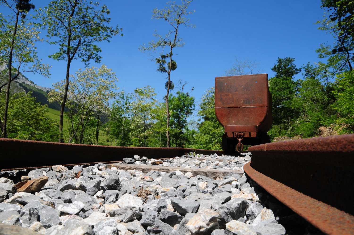
The old Arrazola mining railway, with the “Aurrera” (meaning “Forward”) steam locomotive at its head, used to go down the quiet meadow of the Arrazola river to the heart of Apatamonasterio.
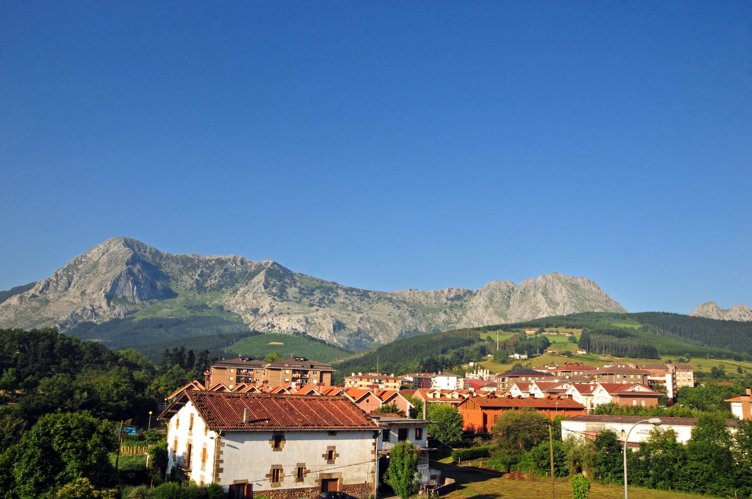
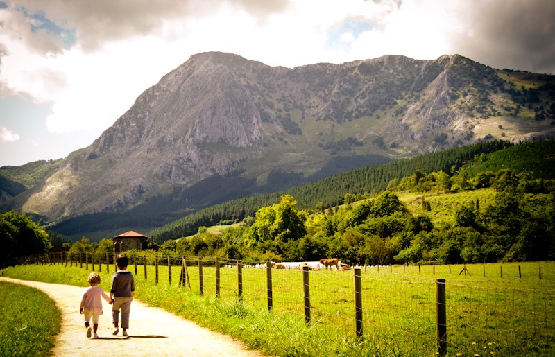
Today, thanks to the greenway, we can cross the beautiful valley of Atxondo from north to south, heading to the foot of the Anboto mountain. The highest peak of the mountainous Urkiola Natural Park, Anboto is also known to be the home of Mari, the ancestral goddess of the Basque people.
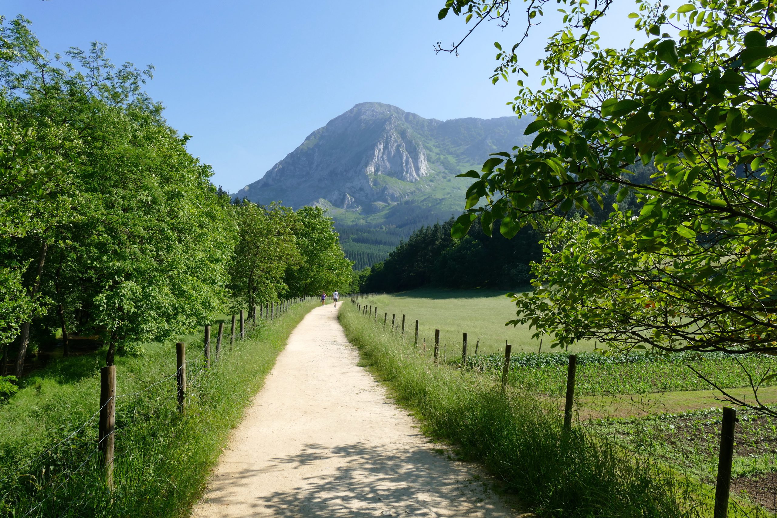
The path is about 5 km long, fairly flat, and runs among baserris (traditional farmhouses), beautiful landscapes, and the Arratia river, following the path of the old railway line that led to the Errotabarri mines.
ROUTE
It is best to park your car in Apatamonasterio, and follow the Arrazola greenway on foot. As you drive through Apatamonasterio on the BI-4332 road, you will see the town hall, San Pedro church, and the pelota sports court on your right. On the left is a small plaza in which a great tree stands.
From the plaza, take Ziarreta street to a recreational area with benches, some outdoor exercise equipment, and a fountain by the Arrazola riverbank, shaded under walnut, alder, maple and ash trees. This is the start point of the Arrazola greenway.
The greenway goes from the recreational area, crossing the concrete bridge with views of the dam and an arched mediaeval bridge. The opposite riverbank is the beginning of a number of trails: on the left, there is a path marked with a sign indicating a Gran Recorrido (GR) (“Long path”), and, right in front, the traces of the old railway are drawn straight and flat among green fields. Once again, the path joins the river at this point, until you come out of the plant tunnel and see a mountainous slope to the left.
ROUTE DESCRIPTION
- Difficulty: easy
- Maximum altitude: 206 m
- Minimum altitude: 165 m
- Tunel: 120 m
DISTANCES
- Elorrio – Apatamonasterio: 4 km
- To the beginning of the Arrazola Greenway: 4.1 km
- To the end of the Arrazola Greenway: 9.1 km
MARZANA NEIGHBOURHOOD
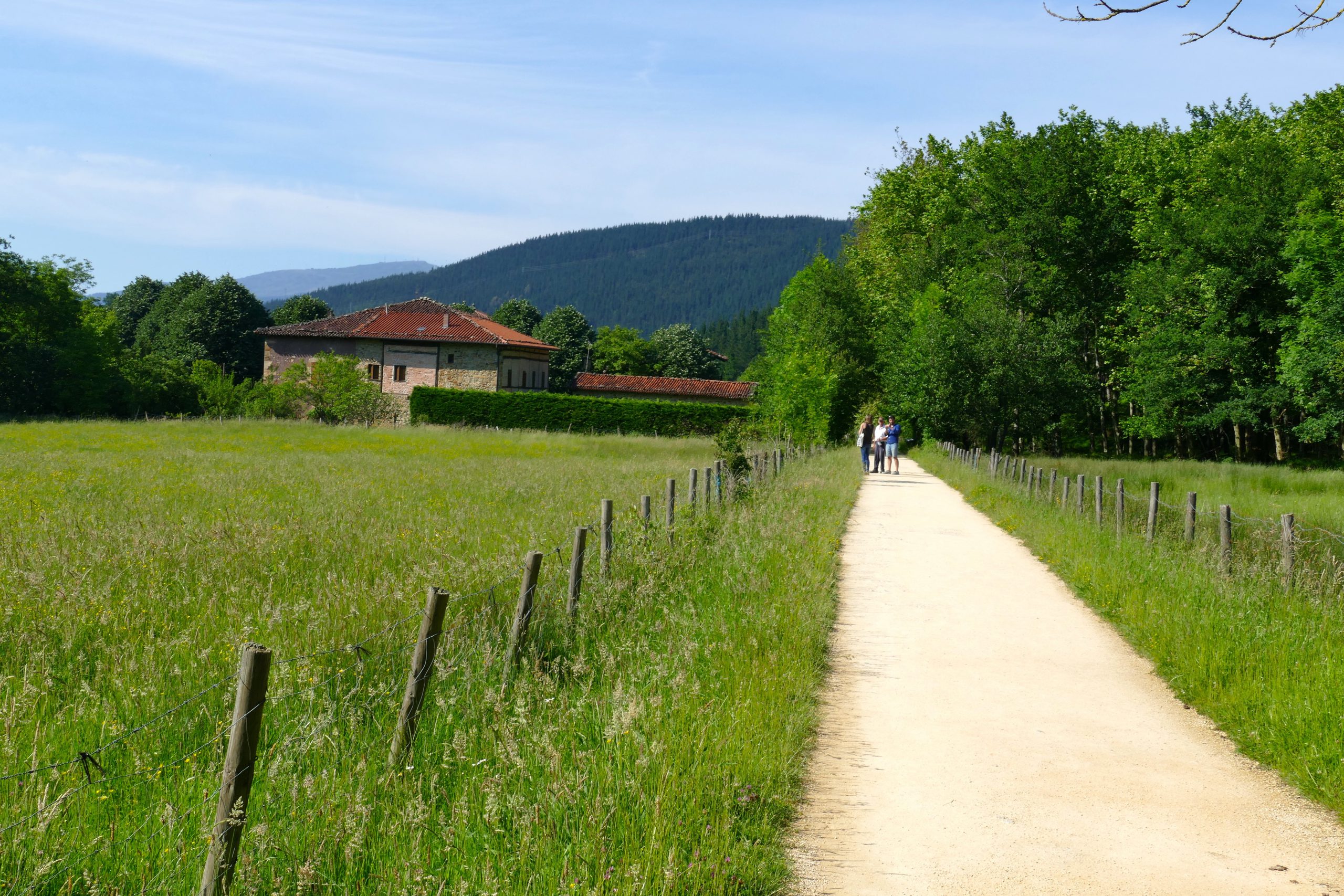
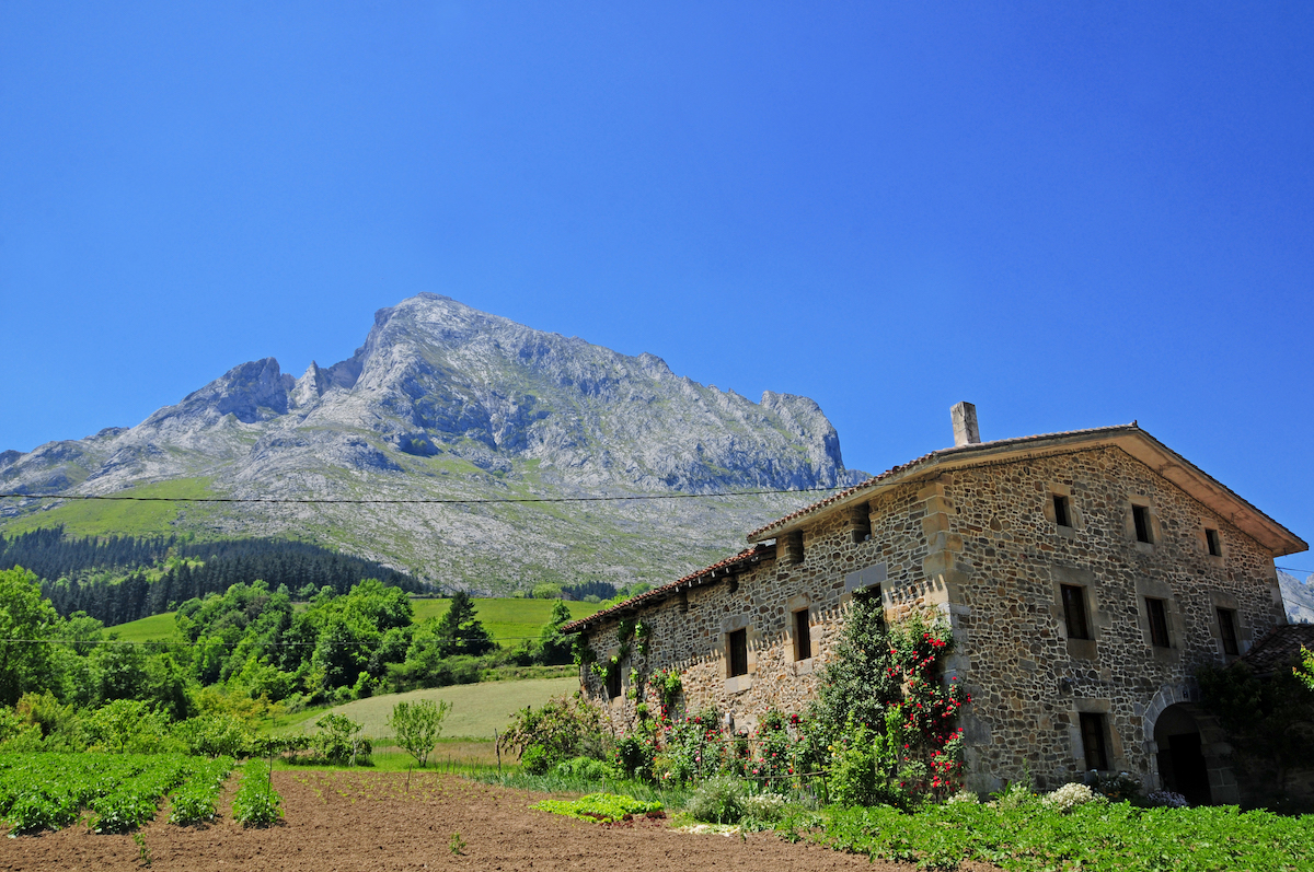
At kilometre 0.8, the road is shaded by great sycamore trees announcing the proximity of Atxondo’s most illustrious neighbourhood, Marzana (or Marza). There is a large area shaded by lime trees, around which you can see the church of San Martín, several baserris and the 16th century Renaissance tower. There is also a fountain to refill your water bottle.
It is worth taking a stroll through the neighbourhood, enjoying its ancient and secluded estate, as well as the Etxezarra baserri, whose Gothic doorway originally belonged to the tower of Marzana. As for the railway, Marzana used to have a loading bay for the mines that were opened up the hill.
Leaving Marzana behind, the Arrazola greenway crosses the BI-4332 road; it rolls on between green meadows and past a recreational area (km 1.3) with toilets, picnic tables and games for children to enjoy.
Upon crossing the river and its cool wooded banks for the second time (km 1.6), the vast Arrazola valley narrows. As you progress (km 2.1), the valley will become once again wide and green. This time we will be able to see the stone baserris surrounded by the trees of Memaia and the limestone crest of Anboto.
AXPE
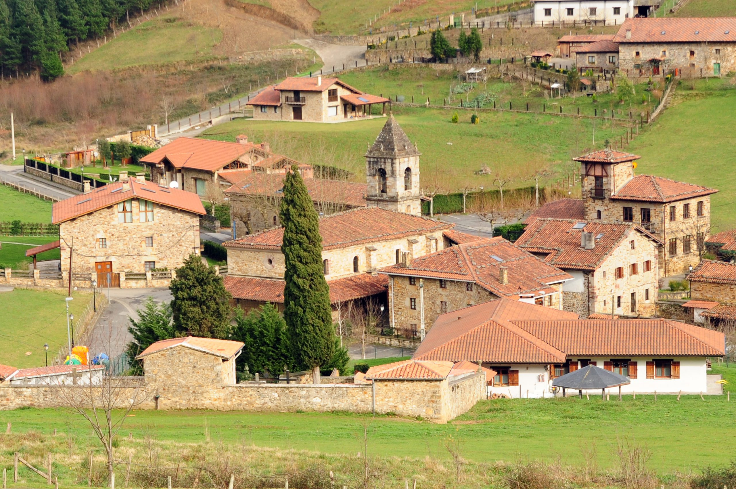
Next, the trail rises above a curved embankment, crossing the stream that flows from Axpe, a town located in the valley. The embankment, an artificial elevation meant to ease the passing of the train, is a magnificent viewpoint from which to take in the entire valley. Once you have crossed the valley, the railway platform crosses the road to Axpe at the same level. Along this road you can see the chapel (on the left) and the neighbourhood of Santiago. Some excellent local restaurants attest to the well-earned fame of Basque cuisine.
ARRAZOLA
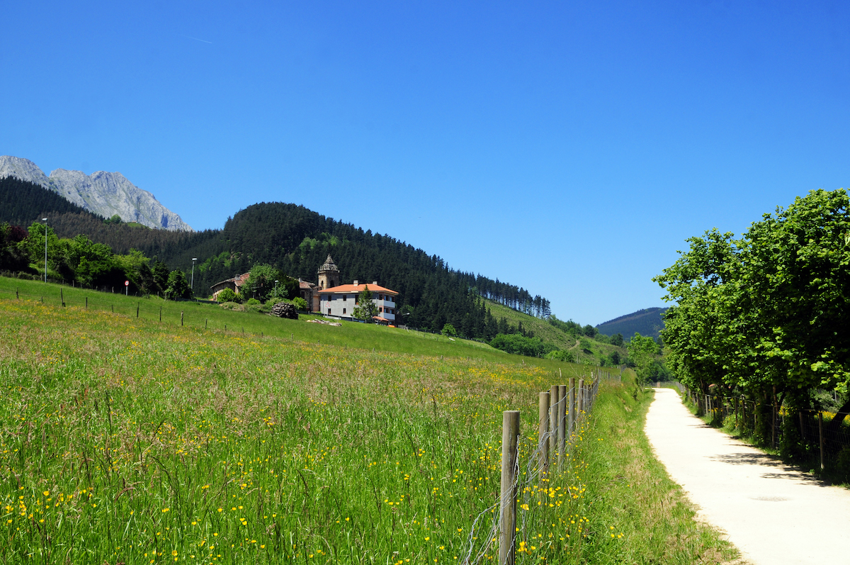
The greenway becomes steeper, then flattens on the mountainous slope on the right, above the left bank of the river. This part of the trail offers a panoramic view with many baserris. We can enjoy the shade offered by the hazelnut, oak, pine, chestnut and alder trees that line the path. The elevated path advances along a long, raised embankment that ends at the pass over the BI-4332 road (km 3), at the foot of the village of Arrazola.
At the overpass, there is a fountain with drinking water and a stop from which to admire the bell tower of San Miguel and the 16th century Urrutia baserri, one of the oldest in Bizkaia, with Gothic-Renaissance origins.
This is also the ideal spot to appreciate the scale of the eastern slope, the steepest of mount Anboto. Right there is the cave of “Anbotoko Mari”, or the Lady of Anboto. This goddess of Basque mythology is the embodiment of Mother Earth.
CHAPEL OF SAN ROQUE
The track skirts around the village of Arrazola, which is perched on the slopes of the mountain above the tower and 18th century Ibarra mill, which still preserves its machinery. The track will then bid farewell to the village amidst colourful fruit trees as it passes the Ollargane baserri, on whose façade we can read an inscription with the name “Pedro de Albayalde” and the year 1519, the oldest date inscribed in stone in Bizkaia.
At the end of this section of the trail, the railway platform crosses Arrazola river again and reaches the chapel of San Roque (km 4.5), standing in the shade of tall plane trees which are over a hundred years old. Next to the chapel we will find benches, a fountain and a large car park.
From the chapel, you can see the “Eye of Bentaneta”, a karstic hole created by water on the limestone rock of Anboto. Locals say that, when the sun sets, this hollow in the rock gives Atxondo the last ray of light.
As the trail comes to an end, we will find its most rugged part. From the chapel of San Roque, the greenway enters the pastures that climb toward Anboto and a mountain slope in the shade of a leafy grove of ash, acacia, alder, birch, pine and walnut trees.
In such an enclosed space, the greenway and the clear current of the river run along one another until you reach the station of Errotabarri or El Tope (km 5). Nearby lie the remains of the calcination furnaces and small mining village.
The old station has been transformed into a recreational area with toilets, picnic tables, and a fountain.
Feeling adventurous? Carry on half a kilometre along the forest track which, going further into the ravine of Arrazola river, leads to the mines from which iron and copper were extracted until 1920.

Extended information...
You may also like...
GREEN WAY OF THE TRAIN
Old train route to Elorrio
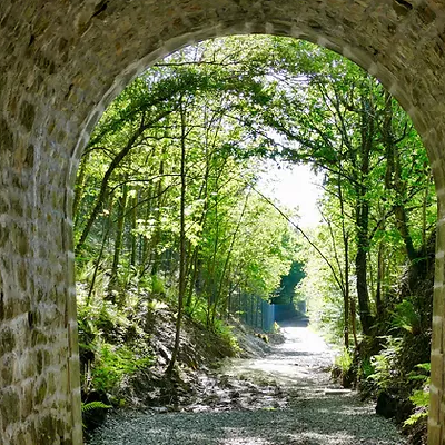
BESAIDE
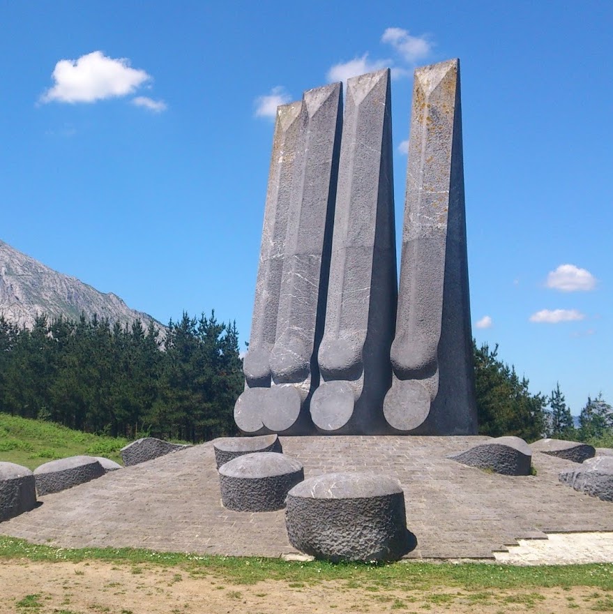
Where the three basque provinces meet
GREEN WAYS
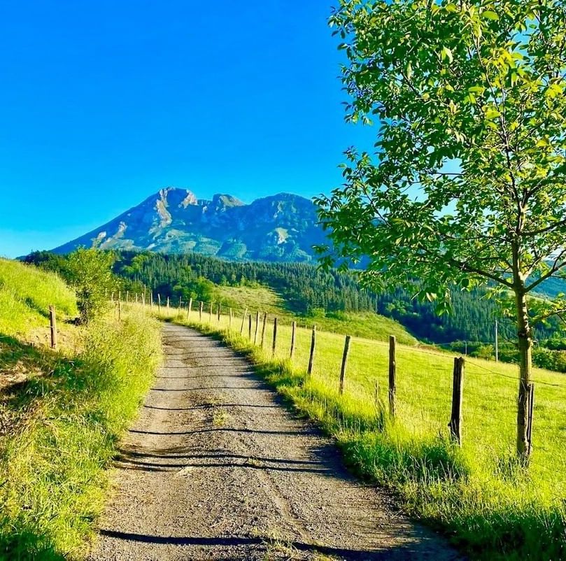
Walking routes around Elorrio's rural neighbourhoods.
MOUNTAINS IN ELORRIO
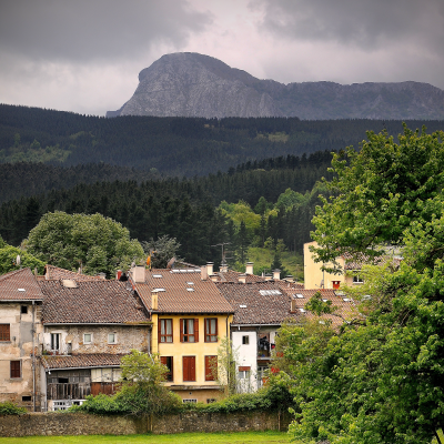
Mountains around Elorrio


WINTER OPENING HOURS
From 15th September to 31st May
Monday: closed
Tuesday to Friday: 10:00 - 14:00
Saturday and festivities:
10:00 - 14:00 and 16:00 - 18:00
Sunday: 10:00 - 14:00
TOURISM OFFICE
Berrio-Otxoa Street, 1
48230 Elorrio (Bizkaia)
CONTACT US
SOCIAL MEDIA


