Besaide
Mountain
Where Bizkaia, Gipuzkoa and Araba meet
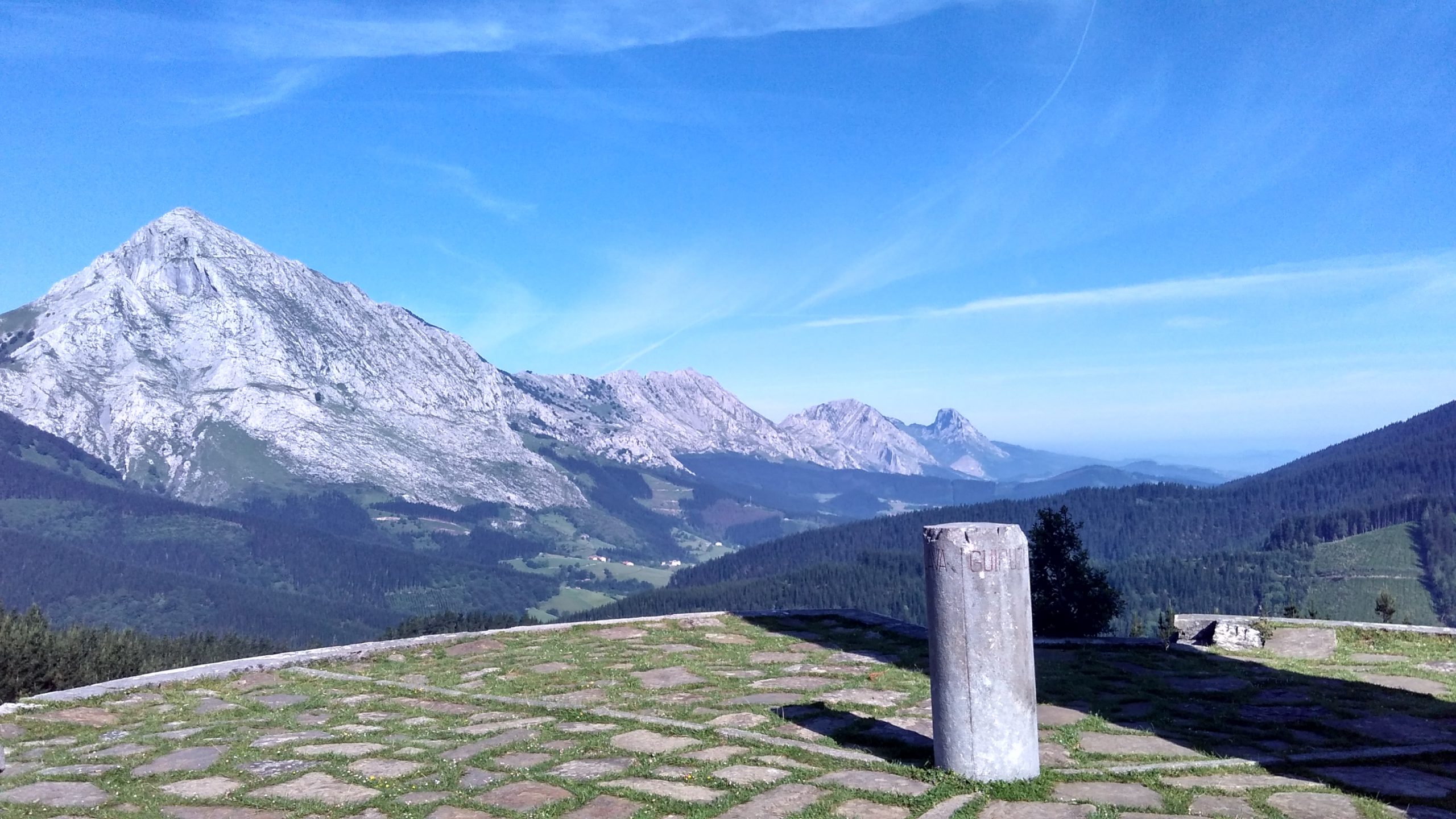
A small peak located between Udalatx and Anboto, 564 metres above sea level, Besaide is known for being the meeting point between the historical territories of Bizkaia, Gipuzkoa, and Araba. A stone has been placed to mark the location.
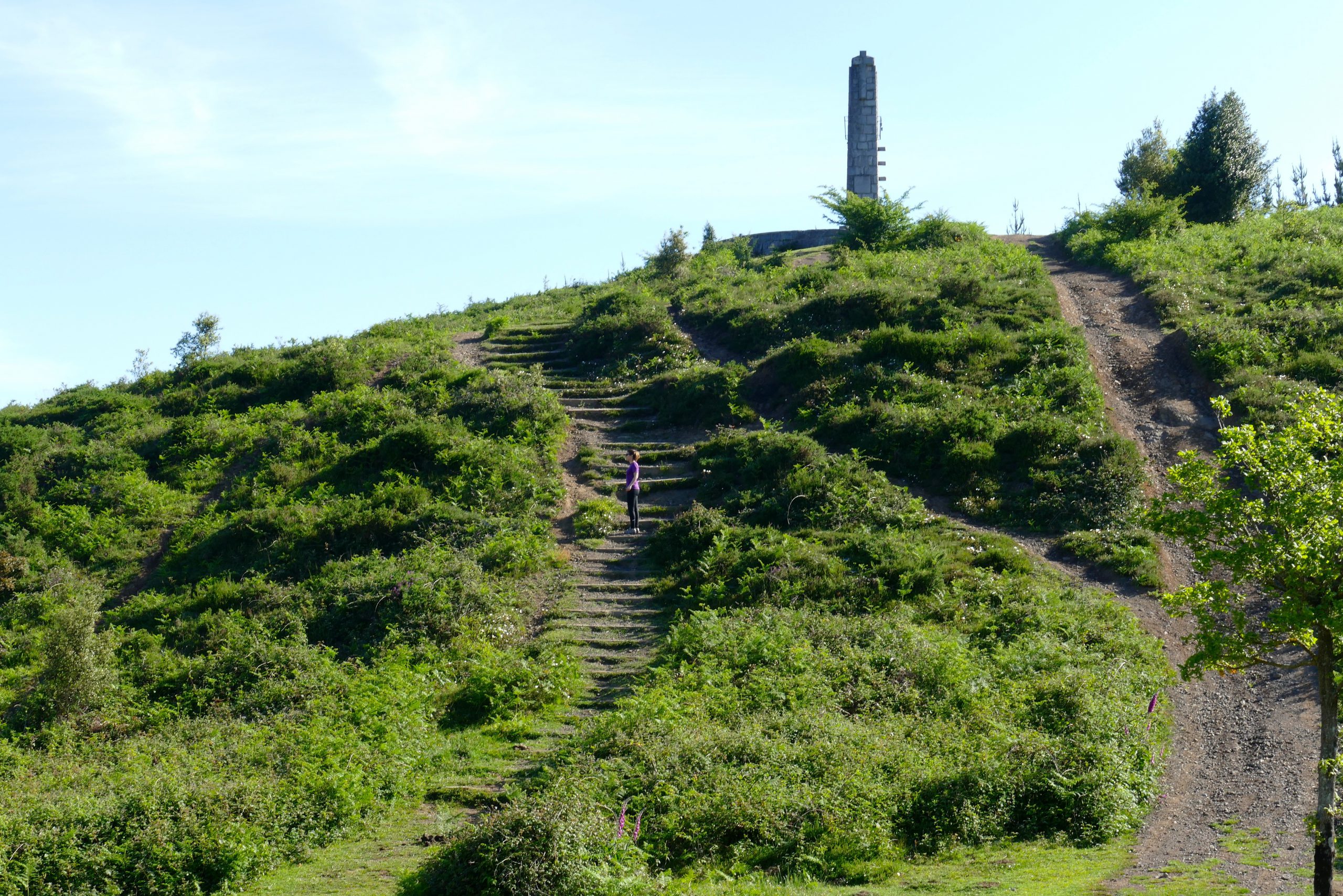
At the same spot, we can find the “monument to the missing mountaineer”, built by architect Luis Pueyo in the 1950s, commissioned by the Mountaineering Club of Euskal Herria. A few metres down the stairs, we will find another monument by Japanese artist Yoshin Ogata. Installed in 1990, this is arguably the most famous view of Besaide.
Mount Besaide is at the end of the valley of Arrazola, with old copper mines on the banks of the Deba river, which runs through the Santa Águeda neighbourhood of Arrasate.
TRAIL DURATION
- From Elorrio: 1h 20 min approx
- From Arrazola: 1h approx
GETTING TO BESAIDE
FROM ELORRIO TO BESAIDE
The walk begins at the upper roundabout on the Elorrio ring road (taking the exit to the industrial estate), where the cement mountain path starts. There, we will see the sign pointing to Besaide. In a little less than an hour, we will reach the diversion to Memaia mountain. One must then descend to a crossroads, joining the GR-123 trail and the route that climbs up Mount Udalatx (approximately 1 hour 5 minutes).
Continuing along the main track, we will soon reach the Besaide fountain. A few metres further on, take a path to the left that climbs up to the summit and the monument (approximately 1 hour 20 minutes).
FROM KANPANZAR TO BESAIDE
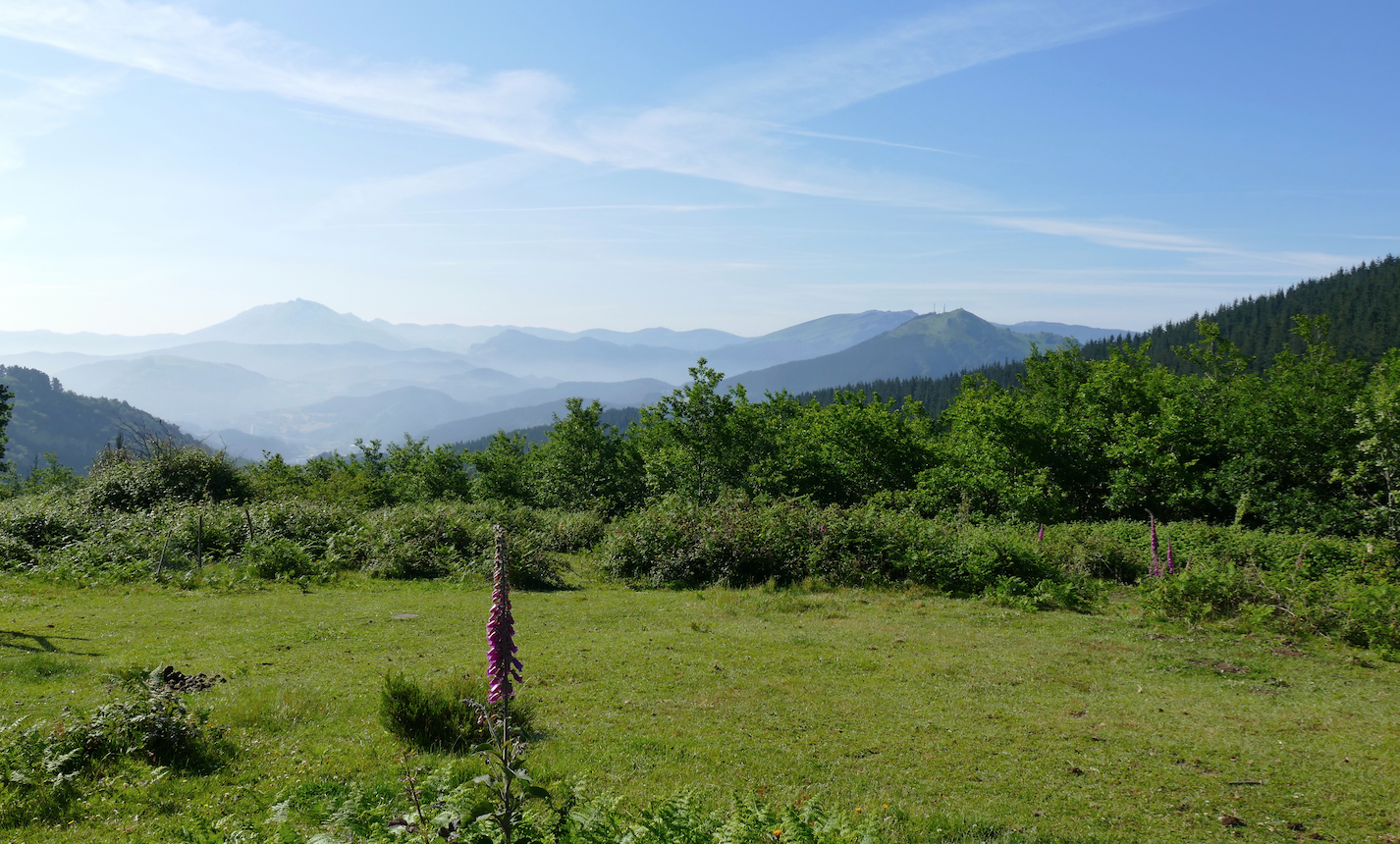
On the other side of the road from the Kanpanzar recreational area, we will see a dirt track signposted by a wooden marker pointing to Besaide.
Following the GR-121 trail, this easy walk follows the slopes of Mount Udalatx. Down this path, we can admire open areas, beautiful beech forests, and larch tree plantations. After about an hour, we will reach the foot of a hill covered by a dense forest of holm oaks. At the peak of the hill is the chapel of Santa Lucía, with its open sheltered area. The niche above the door contains a stone carving of the Virgin Mary.
A few metres away is a small mountain letterbox. From there we can enjoy wonderful views of Elorrio and its surroundings. Following the mountain track, we will come to a crossroads where a signpost indicates the way to the summit of Besaide.
FROM ARRAZOLA TO BESAIDE
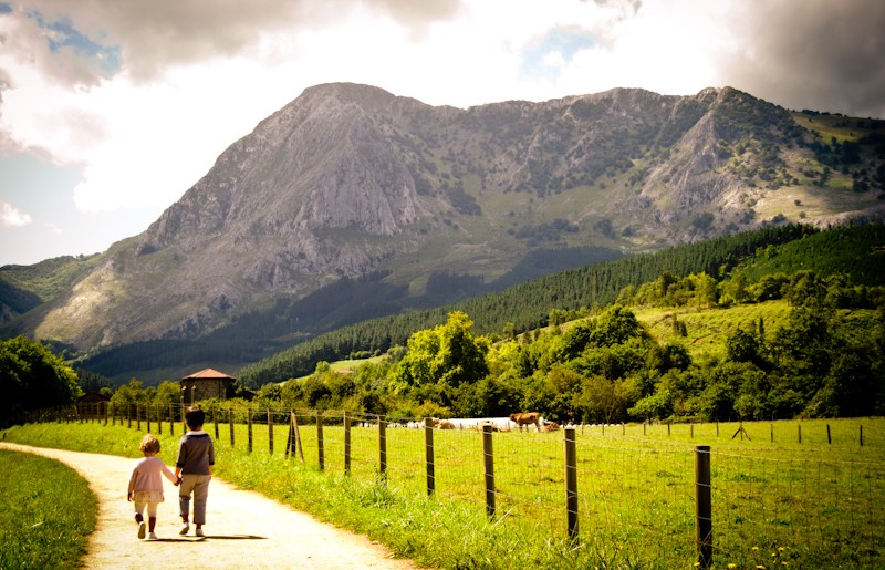
This excursion is especially suitable for families.
At the beginning of the trail, there is a car park and a covered picnic area. The one-hour climb is easy and accessible.
We walk past the chapel of San Roque, built in a rural Baroque style, and see the remains of the railway track inaugurated on 1st February 1904. This narrow-gauge mining railway once ran from El Tope to Apatamonasterio, where it linked with the Durango-Elorrio railway line. The railway transported iron ore, lead and copper from the Arrazola mines until 1925, after which it also carried people and wood until the end of its service in 1950. The name of the steam locomotive was “Aurrera”, meaning “forward” in Basque

Extended information...
You may also like...
MOUNTAINS IN ELORRIO
Mountains around Elorrio
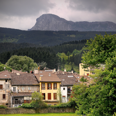
GREEN WAY OF THE TRAIN
Old train route to Elorrio
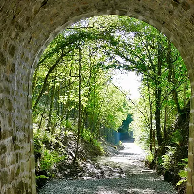
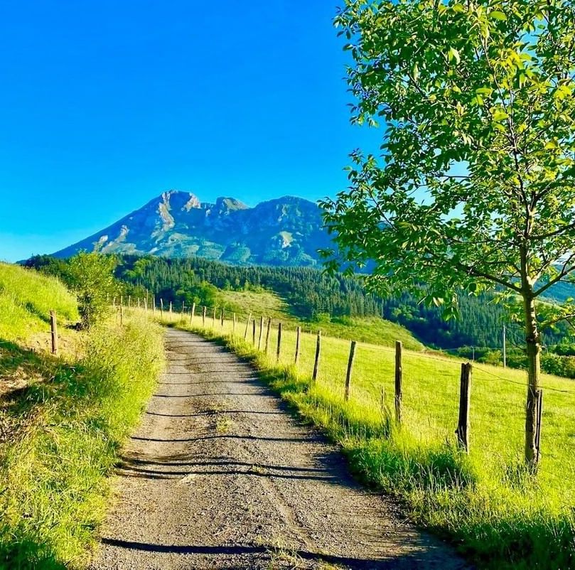
GREEN WAYS
Walking routes around Elorrio's rural neighbourhoods.
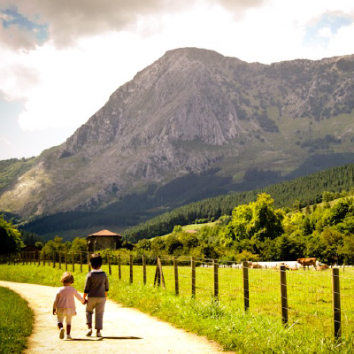
ARRAZOLA GREEN WAY
From Atxondo to Arrazola in the old train way


WINTER OPENING HOURS
From 15th September to 31st May
Monday: closed
Tuesday to Friday: 10:00 - 14:00
Saturday and festivities:
10:00 - 14:00 and 16:00 - 18:00
Sunday: 10:00 - 14:00
TOURISM OFFICE
Berrio-Otxoa Street, 1
48230 Elorrio (Bizkaia)
CONTACT US
SOCIAL MEDIA


