Mountains around Elorrio
Mountains around Elorrio
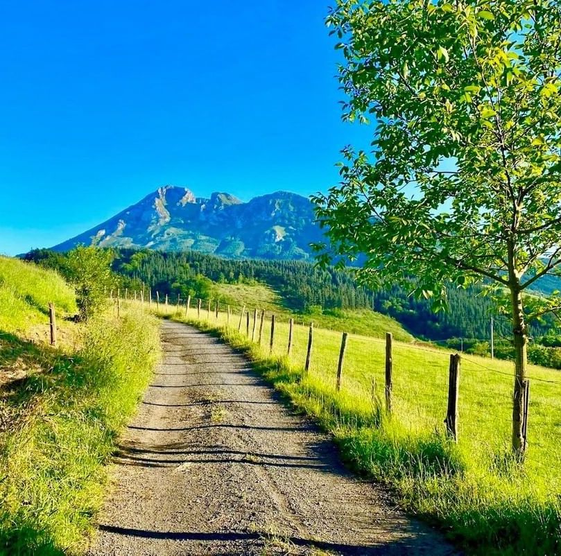
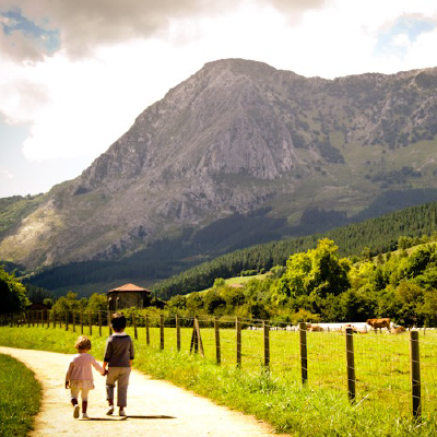
Elorrio is surrounded by mountains. Besaide is the point where the three historical territories meet, located between the Anboto and Udalatx mountains. Udalatx is home to the source of the Zumelegi river, its limestone peak sliding down by Anboto and Aramotz. The Erdella and Intxorta mountains mark the natural border between Bizkaia and Gipuzkoa.
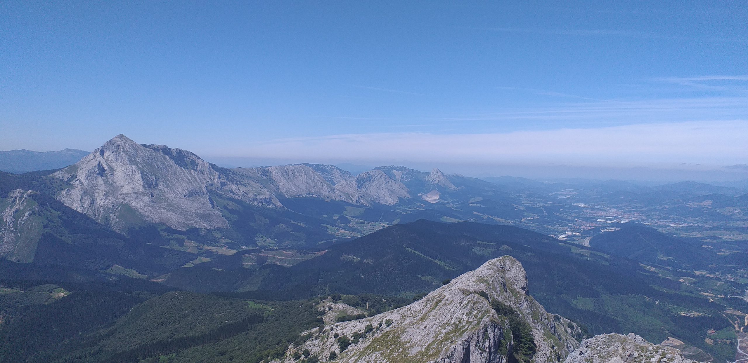
MONTAÑAS ALREDEDOR DE ELORRIO
- Udalatx (1120m)
- Intxorta (737m)
- Erdella (450m)
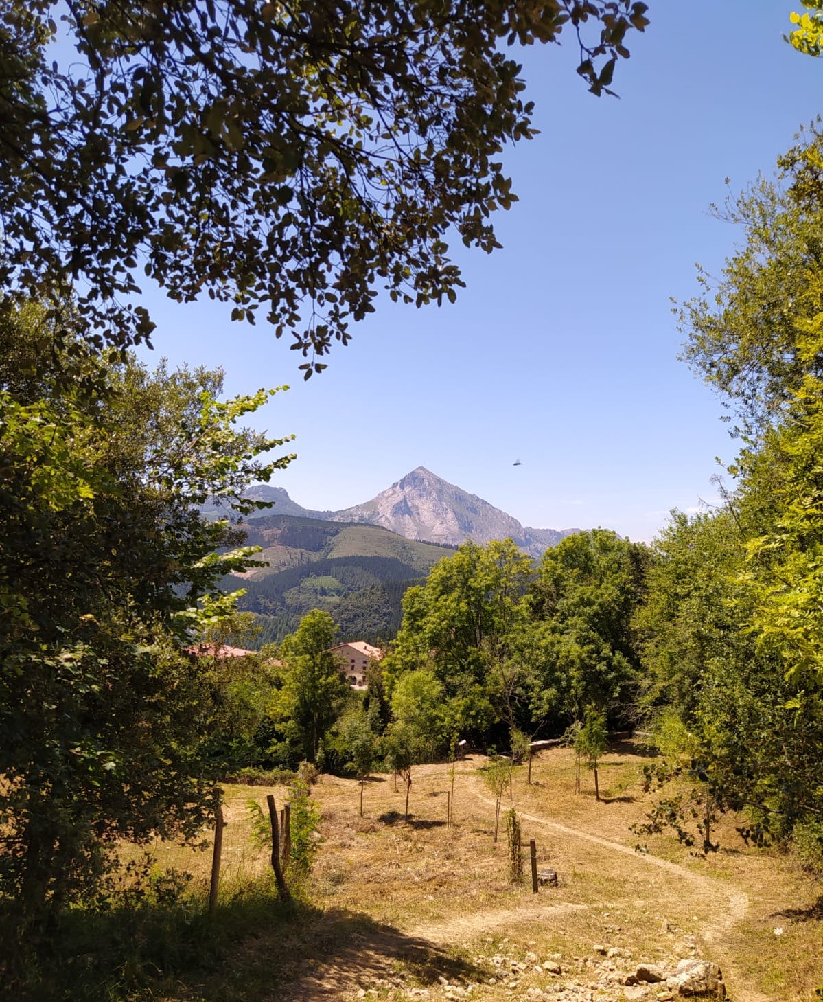
ROUTE DESCRIPTION
- Difficulty: Medium
- Height: 1120m
- Duration: around 2h 30min to the peak
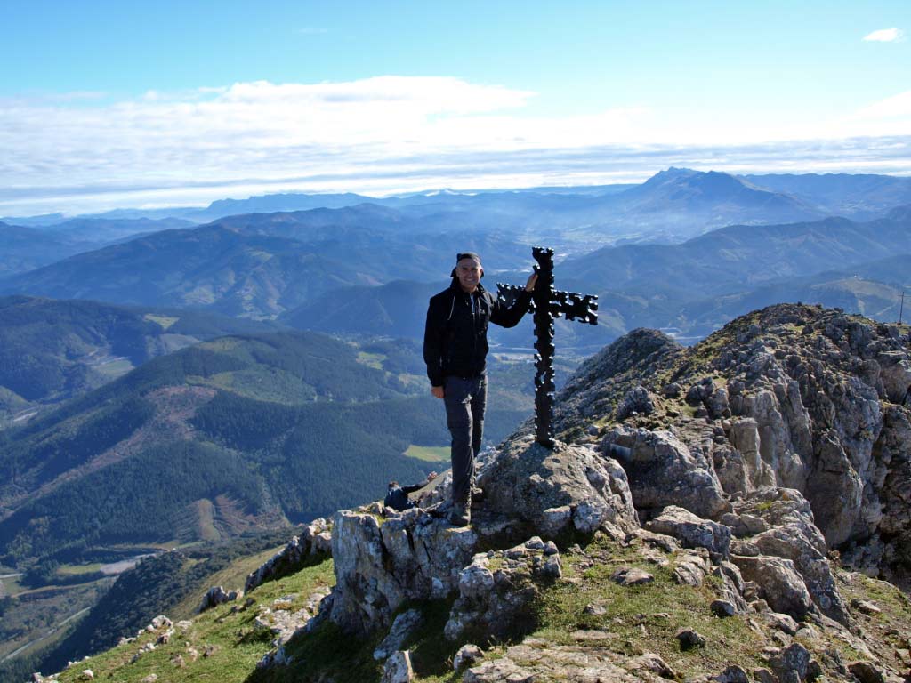
UDALATX
This interestingly-shaped mountain is 1120 metres in height. Standing proudly within the Durangaldea mountain range, its nickname of “el Fraile” (“the monk“) comes from its sloping shape. Due to its exact location between Bizkaia and Gipuzkoa, it separates the basins of the Deba and Ibaizabal rivers.
Although the usual route is either via the top of Kanpanzar or the Udala district in Arrasate, those seeking a challenging climb prefer to set out from Arrazola. To do this, one must first reach El Tope de Atxondo, at the end of the Arrazola greenway. The track that begins at this point goes through a park, past several farmyards, and up to a crossroads. From there, take the path on the left. The route climbs gradually and heads west until it reaches another crossroads. Here, take the path on the right. A little further on, after the third crossroads (approximately 20 mins), we will continue straight ahead until we find the Besaide monument (approximately 45 mins).
Once you have reached the peak, take the opposite slope towards the track that goes through the Besaide pass. Head south until you reach a wide bend with a crossroads on the right (after approximately 1 hour). From here, take the step track on the right. This is the path that once led to the Udalatx iron and lead mines. Once the track begins to flatten out, next to a tortuous crag (approximately 1 hour 25 mins), climb the heath (on the right) to the ridge.
Continue along the path that skirts the rocky outcrop on the left, then goes around the lower Pozutzueta peak and turns right, up the southern side of Udalatx, or, rather, Atxautxurrugane, the westernmost summit of its ridge. Well within the karst, the shade follows the limestone path to the Azpoiti pass, between Atxautxurrugane and Erdikoatxa (approximately 1 hour 45 mins), and then continues along the south face of this second peak to the dizzying Uztepe Osta pass. The most adventurous may climb the ridge and reach the summit.
The normal route runs under the large cave that is the main feature of this side of the mountain, then goes by a small shelter in the rock and reaches the ruins of the old sanctuary of la Asunción, once inhabited by hermit monks. Here, finally, we ascend to the ridge (on the left) and from there we reach the peak (approximately 2h 30 min), where an information point provides details about the view stretching out before us.
At 1056 metres above sea level, we can find the sanctuary of la Asunción, once inhabited by hermits. In 1579, Esteban de Garabay spoke of a basilica located in an incredible setting, away from any other traces of civilization. Basque mythology also places one of Mari’s many residences there.
Important areas of Cantabrian holm oak forest, of great natural value, can still be seen around the mountain; above Kanpanzar, however, a quarry extracts rock from the mountain.
All in all, Mount Udalatx, with its information point helping to locate hundreds of peaks, offers a wide panoramic view that will not disappoint on a clear day. Among locals, it is a classic New Year’s day climb.
ROUTE DESCRIPTION
- Difficulty: Medium
- Height: 737 m
- Duration: about 1h 45 min to the summit
INTXORTA
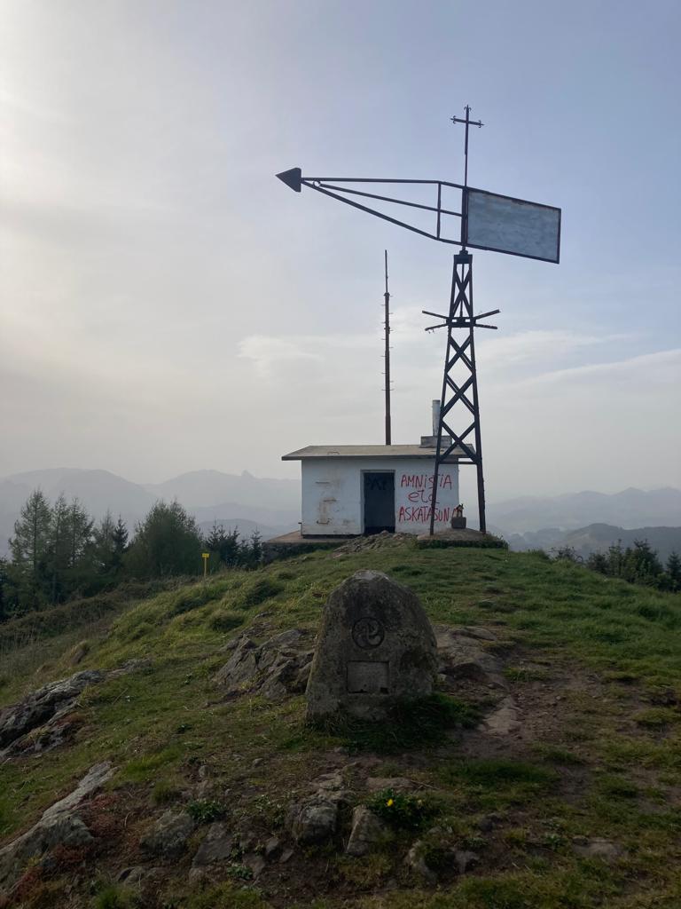
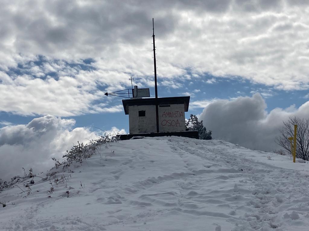
This renowned peak of the Elgeta mountain range is 737 metres tall. Due to its strategic position, it was a bastion of the gudaris (Basque army) during the Spanish Civil War, who set up camps, trenches, and more in the area. Traces of it are still preserved, and guided tours are organised from Elgeta. The mountain is, in fact, made up of three peaks, known as “the three Intxortas”.
Starting at the square, go up Berrio-Otxoa street, take San Juan street and head to the end of the town on the road to Elgeta. After about half a kilometre, turn right into the Aldape neighbourhood. Turn right at the chapel of San Jorge. Leaving the rural area behind, go past the first baserri (traditional farmhouse). Before you reach the next one, halfway, we will turn towards the logged area on the right. A few metres further on, turn right at the fork. Further on, already in the forested area, the path splits into three. Take the trail on the left, which heads towards the Gazeta neighbourhood. Keeping to the left, walking past the aerial, you will come out onto a cement track. From there, ascend towards the ridge to another aerial (around 55 mins). The slope softens at the ruins of another baserri, where you will walk into a pine forest and up to a fork. To the left, the trail increases in altitude and, past a big bend, ends at a different trail marked with PR (Pequeño Recorrido, meaning short walk) and GR (Gran Recorrido, meaning long walk) symbols. Continuing to the left, you will soon reach the ridge, along which you can walk on the right side of the last slope before reaching the summit of Intxorta, topped by a watchtower (around 1 hour 45 mins).
ROUTE DESCRIPTION
- Difficulty: Medium
- Height: 450m
- Duration: about 3h 45min circular route (Elorrio-Intxorta-Erdella-Elorrio)
ERDELLA
Like Intxorta, this peak is part of the Elgeta mountain range. At 450 metres, this mountain is known by various different names, though Pagatza is the most widely used. To get there from Elorrio, take the road to Intxorta, and from there head to Erdella.
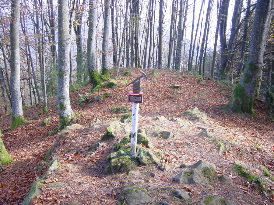
To the north-west, over the pine trees, one can spy the conical peak of Mount Erdella. Walk towards it, retracing your steps along the ridge until you find the sign indicating a GR (Gran Recorrido, meaning long walk) and follow it to the right. Take that track to the road that links Elorrio and Elgeta (around 2 hours 15 min). Crossing it, we will soon reach the chapel of San Urbano. Turn left under a high-voltage power line, then follow the GR markings to the right into the pine wood. The path is easy to follow in this stretch. Running along the main trail and gently upward, it skirts the entire eastern slope of the Erdella river, south to north. Once you reach the ridge, turn left and climb to the peak and the letterbox there (2 hours 50 mins).
After comes the descent, on the same ridge but this time on the western face (to the right as you reach the summit). The path descends opening onto a wide track, which joins the GR 123 (Bizkaiko Bira) and 121 (Gipuzkoako Bira) routes. On the left, the path reaches a wide fork, dominated by an old dry beech tree. From the track on the left, the path takes you past a couple of beautiful beech groves towards the neighbourhood of Medraka. Cross it, walking through vineyards and fruit trees, onto the road leading to the Necropolis of Argiñeta (after around 3 hours). After a look around this spectacular funerary monument, all that is left to do is to go down the road to Elorrio (approximately 45 minutes), returning to the town centre down Buzkantz Street.
You may also like...
GREEN WAY OF THE TRAIN
Old train route to Elorrio
BESAIDE
Where the three basque provinces meet
GREEN WAYS
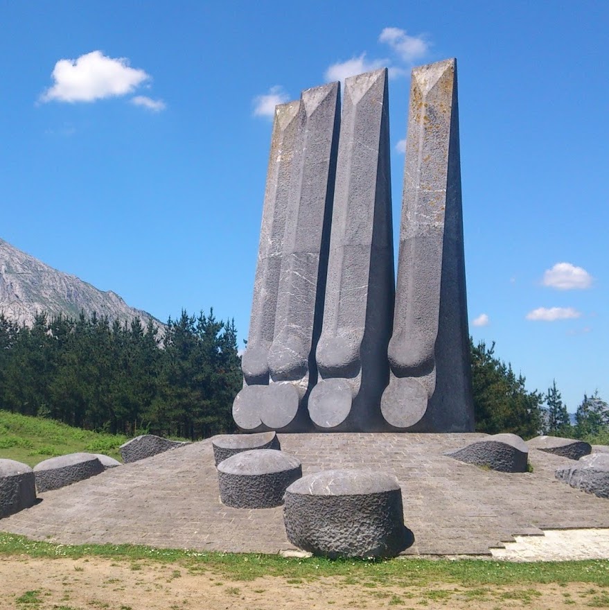
Walking routes around Elorrio's rural neighbourhoods.
ARRAZOLA GREEN WAY
From Atxondo to Arrazola in the old train way


SUMMER OPENING HOURS
From 1st June to 15th September
Monday: closed
Tuesday to Friday:
10:30 - 14:00 and 16:00 - 18:00
Saturday and festivities:
10:00 - 14:00 and 16:00 - 18:00
Sunday: 10:00 - 14:00
TOURISM OFFICE
Berrio-Otxoa Street, 1
48230 Elorrio (Bizkaia)
CONTACT US
SOCIAL MEDIA


